Monday 25 September 2017

MacRitchie Tree Top Walk

most people i know - both those who live here in singapore and those who came to visit - have been to macritchie, specifically to the tree top walk. it's like this is in everyone's singapore bucket list. what's the big deal?

i sought to find out myself last weekend.

the macritchie tree top walk is the 4th item in my nature walks list that i vowed to do in this city state. it's always exciting to plan a trip somewhere, but in fact there are a lot to explore right at my own backyard! the funny thing is, i used to live in bishan, which is a mere bus ride away to venus drive, which is where i intended to start my walk. back then i never had an itch to do hiking and stay fit. but now that i do, it's never too late, right?


macritchie park map via nparks.gov.sg - highlighted the (popular) short route i took

after doing the first 3 hikes i realize now that i can only do a continuous walk up to 3 hours, and then i'd be super exhausted. and since i normally start post lunch, i don't have the luxury of taking a rest in between to cover more distance. looking up posts online it seems that it will be between 1.5 to 2 hours to walk from the venus drive and do the tree top walk and circle back. i promised lovro i'd be home for dinner so walking the entire macritchie reservoir park will have to wait.


of course, macritchie being among - if not the most - favorite walking trail in singapore, there were a lot of people that afternoon. as i started at 3:30, i was mindful of not taking a leisurely walk because the entrance to the tree top walk closes at 4:45. i was walking fast enough to overtake a few people. still, i managed to snap some photos along the way. 


long-tail macaque youngsters. and a giant forest ant.

there are information boards throughout the trail about some interesting facts on these flora and fauna. i'm pretty sure i read about this particular tree, and why it has these green boils all over, but i completely forgot about it! auntie-fail!


it was a 30-minute walk to get to the entrance of the tree top walk, which makes me an average asian walker :-D and then i get to the point of no return...


the bridge is 250m long, and 25 meters high. it is quite narrow and it does shake, so it might be quite a thrill for some people. apparently only 30 people are allowed on the bridge at a given time, and since there is a security staff at the entrance, one can hope that indeed he's counting how many people are on when it gets crowded. i wanted to take my time since it's a one-way path, so i let a few pass me. eventually almost everybody's gone, and i had some time to really enjoy the view of the forest canopy and position myself better for good photos haha


the one thing i do remember is that in this forest below there are a bunch of cheng tng trees. i have heard about the cheng tng dessert, which is widely available in any hawker or kopitiam, but i have never tried it myself. according to the nparks website: "The ripe seeds, when soaked in a cup of water overnight, give rise to a brown spongy jelly that swells to fill the cup, hence the name. If you have eaten cheng tng (a local dessert), you would have tasted this brown spongy jelly, which is incidentally very nutritious." and now i know why i've never tried it! it doesn't sound like a mouthwatering dessert! LOL

as you exit the bridge, there are directions for the ranger station and when you eventually reach petaling hut, you have a few options. you can take sime track and terentang trail and either walk back to venus drive or finish off the rest of the nature trail (i think about 6km more). you can also walk all the way to bukit timah nature reserve for another 7km or so. or a quicker and fun detour to jelutong tower for another elevated view of the nature reserve. i took this last option.


after walking up seven small storeys in that spiral staircase, you get to enjoy this 360 view of awesomeness under the scorching sun. 


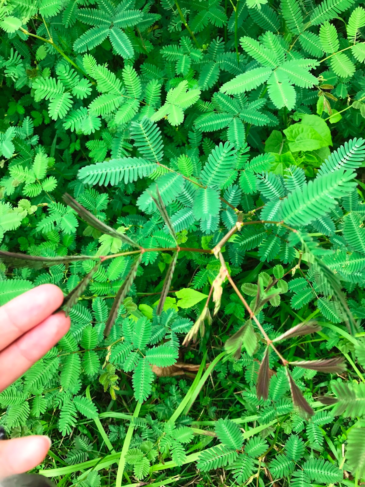
on my way back towards the entrance of windsor nature park (towards venus drive) i encountered some more local resident macaques. they're always interesting to look at, but somehow i'm always jumpy when they start to approach. guess i'm not a monkey person haha. i did not see the monitor lizard (booo!) but i saw a teeny-tiny crawler instead. 


verdict: there's a reason why macritchie is so popular! it's quite an enjoyable walk, with several trails to choose from: there's something for everyone. and all i could think about after this was: why haven't i done this before?! i need more FFFs! fitness-freak friends, that is :-D

Wednesday 20 September 2017

douchebag police

i used to be a happy drunk. 

i'd talk shit and i'd be loud, but i'd be funny as hell. everybody loved me.

lately i realized that when i'm intoxicated, i transform into what i can only call as a douchebag police

sounds interesting, huh?

basically, whenever i have a little have too much alcohol than i should, i suddenly zoom in into actions that i classify as douchebaggery. from being a usual i-don't-really-care kind of girl, i suddenly had this itch to call out obnoxious behavior - specifically from men - and i don't exactly know what the point was. maybe in my drunken state of mind, i thought that i could enlighten them and change their ways? maybe i'm acting as a thunderbolt of righteousness, because my inebriated self is suddenly the beacon of all that is just? 

honestly though, when i sober up and realize what i've done, i'm always embarrassed. i'm pretty sure that at the moment when i was yapping about it, i made a total ass of myself.

where is this anger coming from? :( 

Monday 18 September 2017

Coney Island Park

just 3 kilometers away from where i live, there is this little stretch of land called coney island park that apparently became an instagram fad in singapore when it opened. i've been to the punggol promenade quite a few times, mostly cycling around the park with lovro, and i've seen the entrance and read about what's inside. there's something about it being too popular that put me off, but having lived in punggol for about 2 years now, i've decided it's high time for a visit. 

largely undeveloped, the island is a favorite for those seeking a rustic nature walk experience especially since it does not have electricity and there are no vending machines or stalls or any other conveniences. the park closes at 7pm.


the gate in punggol promenade side is the west entrance to the island, and it is a long stretch of about a 2.4 km walk to get to the east entrance on pasir ris side, exiting towards lorong halus.


there is a 'main path' that is most convenient for those walking with kids on prams or cycling or using scooters. i opted to stay solely on the earth track for a more exciting walk, and to also explore the beach.


the park is populated by a good number of casuarina trees, and this area (as shown above) that was cleared for a make-shift playground of sort is called casuarina exploratory. they also use timber from these trees to make signage, benches and what-not throughout the island. 

the park also has several of these things called bird hide. it was meant to provide some cover for visitors who want to look up and watch birds, so as not to disrupt them. i didn't see any of the colorful and beautiful birds that reside here, maybe if i did hide in one of those..


as i walk towards the first beach viewing area, a curious creature cut me off. i tried to stalk it for a minute and lost sight of it. luckily i found it again, climbing up a tree. i looked it up on nparks flora-and-fauna web and it seems to be called green crested lizard, though it changes color when threatened. probably why its upper half was fire-orange when i took this photo. 


there were signs near the beach viewing area warning visitors of sand flies. i knew about this and yet i didn't really wear long pants. it wasn't so bad, because i didn't spend a lot of time on the beach. i did walk to all the beach viewing areas though.


if you're on the beach you would notice an island on the opposite side. that is pulau ubin, another area that for the love of my 12-year residence in singapore, i have not yet visited. it's in my calendar for october. what i don't understand though, is why there is no ferry service from punggol jetty to pulau ubin, and you'd have to take one all the way from changi point ferry, when you can clearly just swim your way to it from this side. okay, maybe swim if you're an ironman of sorts. perhaps by kayak, for someone like me.  

the walk along coney island park was quite an easy one and so even with all the stops for photographs and just looking about, i managed to get to the other end after almost an hour and a half. walking towards the east entrance, one exits to lorong halus which is another park connection on pasir ris side. i contemplated on walking through the wetlands but was too lazy to try to figure out my way back home. haha. 


side story: i have an obsession with touching these plants called touch-me-not :) for the uninitiated, these plants close when they are touched or shook. reading up as to why the plant has such behavior, it seems that this process of folding/closing leaves cost the plant a lot of energy. luckily, plants do not have nerve endings that cause them pain. otherwise, all of us guilty of this habit are practically touch-me-not sadists! :-D


normally, i don't stop until all of the leaves close. but i stumbled upon shrubs and shrubs of touch-me-nots. it's just impossible to play with them all! that was probably a good thing, otherwise i would look like a total idiot trying to trample endlessly on these poor things. they win, this time.


anyway, since it was getting dark and the thought of having to figure out my way back home if i complete the walk all the way to the wetlands has led to the decision to walk back to the west entrance. to speed things up, i stayed on the main path this time. it was mildly breezy and so it was quite enjoyable. lots of families were walking or cycling their way back to the punggol side as well. it is very likely that these folks would end up in the row of restaurants along punggol promenade.

verdict: it was a nice, easy walk, perfect if you prefer to be surrounded by other people because it's quite a popular trail. however if you are looking for something more challenging with inclines and steps, then you might find this too easy. nevertheless it's a good way to get your 10,000 steps for a day.  

Sunday 10 September 2017

bukit timah: kampong trail

another hiking weekend!

so i was in bukit timah nature reserve last weekend hiking alone. this time, jasmine and rainier joined in. we sort of had a miscommunication and ended up going to bukit timah (again) instead of somewhere else. the good thing is, there is another area to explore here. today we took the kampong trail.


kampong trail - the pink path

kampong is actually derived from a malay word kampung which means village. back in the day, the area was apparently a settlement; a chinese and malay village existed. as we did not deviate from the trail, we did not notice much remnants of any village. 

i find the kampong trail to be more rustic than the ones in bukit timah nature reserve. in the latter, there were a lot of paved paths and staircases. here we walked through more leaves-covered earth and slippery slopes.


it was drizzling most of the day, so the weather was mild and the trail a bit muddy. there were insects though, and i must have unfortunately stepped on a bunch of ants because they kept appearing on my left foot and biting me. on the bright side, because it rained, snails were out. here's one that thankfully rainier noticed and i did not accidentally crush.


slow down: mollusk crossing

the lush jungle was not just all green. we saw some colorful orange blooms from tall trees and blue trumpet vine flowers. i saw a couple of dragonflies, and rainier pointed out to a butterfly with three layers of colors. of course the flying insects were hard to photograph so i didn't even bother.


kampong trail is comprised of a few small, interconnected trails. we passed through pandan trail first, and then we headed to nangka trail. nangka is a malay word for jackfruit, so obviously the trail was full of jackfruit trees. growing up, we had a jackfruit tree in our backyard and i remember my dad would sometimes harvest one, and if it's not ripe enough, it would be cooked with coconut milk and meat. 


from kampong trail there is an option to walk all the way to macritchie reservoir. it would probably be a 2.5 hour walk for us (at best), and since the couple has dinner arrangements at home, we did not have enough time for this. perhaps i will try it next time.


we came across a path full of taro plants. their leaves are huge. hence they are also nicknamed elephant ears. i was telling jasmine of my delusion that perhaps it would be lovely to have someone fan you all day with those giant taro leaves. LOL

to illustrate how big they are, i tried to hide under one. i could definitely scare off some hikers passing by if i was in the mood. 


we encountered a troop of monkeys. i heard that some of these monkeys get aggressive, and people are advised to keep distance. i spotted at least four baby monkeys there, and the moms were giving us that look. we hurried past them. 

after the nangka trail comes the durian loop. i've read somewhere that people actually come here to pick durian during the season. by picking, it meant picking up the fruit that falls from the tree, as apparently the trees grow really tall. i don't like durian - at all - so i don't know what the trees look like. i was rather thankful that the season seem to be over because i did not smell that familiar revolting pungency. i think jasmine was somewhat disappointed though, being the durian-eater that she is. 


to the durian loop.. or to the durian loop?

after the loop comes an option to continue to macritchie reservoir for another 9.2 kilometers or to head back. we headed back as i mentioned that we did not have enough time today. also, it was starting to drizzle, and the ominous black clouds were very intimidating. the path was already quite dark, almost as if we are in a horror film set.

one of the things i was hoping to see were cute mushrooms. we did not see very exciting ones, but here are a few sprouting around the area. 


in total we spent just about an hour and a half on these trails. it was only 5pm then, so we could still do a bit of walk. jasmine was curious about the hindhede nature park which i visited the prior week. we went there to have a look at the hindhede quarry and of course the notorious monkeys.

verdict? i liked this trail better than the cave path at bukit timah nature reserve, and would definitely consider coming back to walk all the way to macritchie next time. 


shishi-odoshi

On my own, purposely crafted
I am beautiful and strong
And special
I believe

And yet my existence
Seems adjacent to that trickle 
From a stream 
Overflowing, never ending

I take it in, to my heart's brim
Just when I am drowning
I helplessly let go 
Until almost empty

I hit the bottom 
An awakening 
A startling 
And it begins again 


Saturday 2 September 2017

bukit timah nature reserve and hindhede nature park

i have a confession to make, which most people who know me wouldn't be surprised about.

i have lived in singapore for 12 years but have not set foot on a great deal of nature parks here. i should be, and in fact i am, kinda ashamed to admit that. i spent many weekends just having fun and indulging in good stuff and conveniences and evidently that had not been helpful for me to stay fit. but lately i have found a renewed desire to focus my time on wellness and working out and i'm really, really trying to seeing it through this time. fingers crossed!

so this afternoon i went for a hike at bukit timah nature reserve. this visit comes as my first attempt to practice for the yogyakarta trip, and to break-in the new hiking shoes. a big factor as to why i chose this hiking trail for today is because it was more convenient to get here than the others. i live in punggol, which is at the north-east side, and bukit timah is practically to the west, but it only required just one train transfer. it was a good hour from punggol MRT to beauty world station, and about 15 minutes of walking from the station to get to the visitor center (i got slightly lost, otherwise it would have been just 10 minutes).


visitor centre

there were a few walking trails available. blue and red were marked easy, green as moderate, and yellow as hard - and extends all the way to dairy farm nature park. i chose green because according to some reviews/blogs i read, there is more immersion to fauna and flora in this trail. the others are mostly paved, but the green south view trail gives one sort of a jungle-walk experience.


it was around 4:15 when i started from the visitor center, and based on what i read, the trail takes about 2 hours to summit and back. afraid that it would get dark by the time i'm done, i tried to take a faster pace. but 10 minutes on, people started to overtake me. damn, i really need to get better at this.

nevertheless, it was quite an enjoyable walk. there were a lot of stairs, which promised a good exercise. the lush greens made a great shelter from the scorching heat, and was a relief since i haven't put on a lot of sunblock. it meant i will not be turning into a panda today.


this path is also called cave path, because there were indeed a cave here. two, in fact, but both are never open for exploration. stories have it that these caves were made by the japanese during the war, and the caves were used to store ammo and other supplies. but as my source is unconfirmed, don't take my word for it :)


i wasn't much of a kepo so i didn't really even go near the gate blocking the cave entrance. i figured if it wasn't open to public, there must be a good reason for it. see, i'm such an obedient resident :D 

i was expecting the trail to go on for a bit longer, so i was surprised when suddenly i arrived at the simpang hut. from here, there is an option to take the paved road to the summit for half kilometer, or a steep shortcut through the stairs. i hate staircases, so i took the flight. in no time, et voila, i'm at the summit!


at the summit, hikers were taking photos of the resident monkeys. they were playing with a plastic bag. either they stole that from someone and mistook it to contain food, or someone actually tried to feed the monkeys. perhaps there weren't enough of the "we will fine you" signs.  


it's a fine city

it was only 4:45 at this time, so the whole trail only took half an hour. surely i could do a bit more. i remembered that when i was on the trail, there was a detour called taban loop. i intended to go back to the same cave path and find this loop, but i took a wrong turn (ha ha) and ended up taking the red trail going down to the exit. it was in fact a good accident, because this path is very steep. hiking up must have been tough, but going down was no easy feat either. there were signs saying that running down is not allowed, and i can imagine that because it was so steep it will be hard to brake. i had to walk down in a somewhat squatting position and squeeze my thighs so i wouldn't roll over. that was a good exercise.    

the road took me back to the visitor center, so i had to walk the cave path again for a few minutes to get to the taban loop. it was a short loop, but a bit more difficult than the cave path. it was fantastic.


by the way, i found two very interesting types of trees in this nature reserve. one has curly branches, and the other one had some that were tangled like ropes.


after i'm done, i rested near the visitor center for a while. then i saw a sign that hindhede nature park was only 160m away! i knew that the place is close by, but i didn't think it was that close. i decided to head there since it was only around 5:30.   

just immediately after the entrance to hindhede nature park, i saw a couple of photographers. i heard that indeed the place is frequented by them because of the interesting bird species that can be regularly sighted here. i quietly approached so as not to disturb them. the man asked me if i saw it, and i asked what the animal actually is. apparently it was a colugo - a flying lemur. 


malayan colugo

this park has a very gentle trail as it is meant more to be a family-oriented walk. it has a few playgrounds, some picnic tables, and a workout area. the highlight here though is the look-out point.

the look-out point is in fact a view to the hindhede quarry. it was part of the 3 granite quarry sites in singapore, and it ceased operations in late 80's. the place was long then rehabilitated and now is being enjoyed by nature lovers. for those wondering, hindhede was apparently named after a danish engineer who operated the quarry back in the day.  


there was a family viewing it at the same time as me, and they brought some white bread to feed the fishes and the turtles. i couldn't take a clear photo of them, they were in a frenzy. the white bread has attracted a bunch of monkeys to come by, so the family left before the animals could get their hands on them.


turtles and fishes fighting for bread

spidermonkey


it was starting to get dark so after a bit of rest, change of clothes and hydration, i headed back towards the MRT. it was time to hunt for dinner. i think i might have been too tired and hungry, because i ordered a plate of steamed chicken, salted egg pork ribs and a big bottle of tiger. damn, all those calories. 


i also heard about this very old bakery around the corner. apparently this place has been in business since 1954! it is very popular for its mini muffins. obviously, there were none left by the time i got there. i bought kuih bahulu (mini sponge cake) instead. 


i arrived home to lovro eating cake, but he immediately opened the kuih bahulu. he had a blast attending a birthday party, and i had a great hike. all in all, a great saturday.

Old Bukit Timah Railway Station

I am clearly not a person who has FOMO because if I did, I wouldn't have just walked past this unpaved and rather remote path many times...